Inspector 3.0 Changes The Face Of RVI Inspection
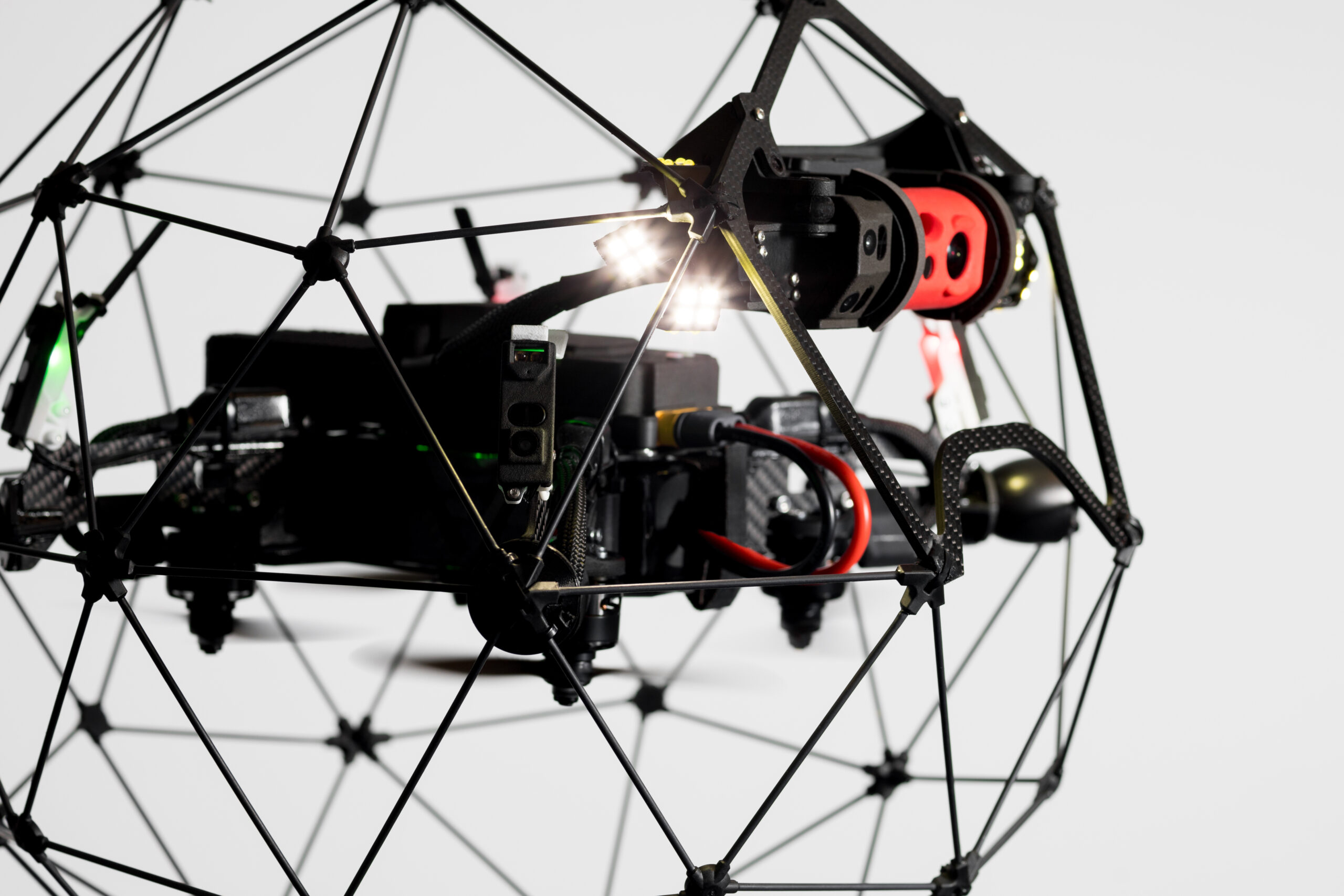
Inspection tasks are undergoing rapid advancement thanks to Remote Visual Inspection (RVI) tools, like the Elios 2. However, while there are many advantages to such drone inspection (speed, visualisation of hard to reach areas, increased health and safety etc), it also brings with it one significant challenge:
That of pinpointing the location of defects.
Unlike traditional inspection, where the defect is determined by the person in front of it, RVI inspection in areas like boilers requires multiple data input to gain an accurate location. This might include the use of maps, blueprints and barometric measurements. This is a complex task. Getting it wrong can have serious implications, the worst of which is undertaking significant effort (AKA time and money) to gain access to repair the defect, only to find you’re in the wrong place.
Enter Inspector 3.0
Inspector 3.0 is the newest version of Flyability’s Inspector software, specifically designed to be used with the Elios 2 for indoor inspections.
This revolutionary data localisation program allows inspectors to create a 3D map immediately following an indoor drone inspection flight. The advantages of this are many, all of which combine to create one thing – significant savings for repair and maintenance tasks.
- Accurate defect location in real time: The whole reason for inspections is to identify defects. Being able to pinpoint them immediately after an inspection flight has taken place means efficient action plans can be immediately put in place.
- Lowered costs: Wholly accurate localisation of a defect in a hard-to-reach asset area allows for exact planning to gain access. Whether this involves scaffolding, digging through dirt, cutting into the asset or any other means of access, it negates the risk of ending up in the wrong location. Such unhappy incidents are common and result in prolonged downtime and the associated loss of revenue.
- Better communication: Industrial maintenance often includes many different personnel. From inspectors through to maintenance staff, C-suite level and managers, accurate data localisation can assist in helping everyone understand the needs of the inspection data. A 3D map speaks volumes and bypasses much of the requirement to fully understand technical data, therefore aiding comprehension at all levels and improving communication.
- Improves customer relations: Performing inspections often causes frustration if a customer can’t see a tangible report of defect locations as soon as its finished. The ability to present them with a 3D visualisation straight away is hugely advantageous to customer confidence.
How Inspector 3.0 Works
- Launch the indoor inspection mission: Using the Elios 2
- Collect visual data: On the fly collection of data, allowing you to mark points of interest at the touch of a button
- Create a 3D map: Following the flight, utilise the mapping feature of Inspector 3.0 to create a sparse map of the asset that includes the points of interest detected. This takes between 20-50 minutes to generate
The Elios and next-generation Elios 2 continue to evolve, along with the software that goes alongside. Such innovations are key to driving down costs and increasing productivity in an ever-competitive marketplace.
Equipment provider, Nexxis, is committed to procuring such technology and providing the unique availability of a dynamic model that allows their customers to take full advantage of tech as it becomes available.
Discover more about the Elios 2 and Inspector 3 or contact us today for a no-obligation chat.
